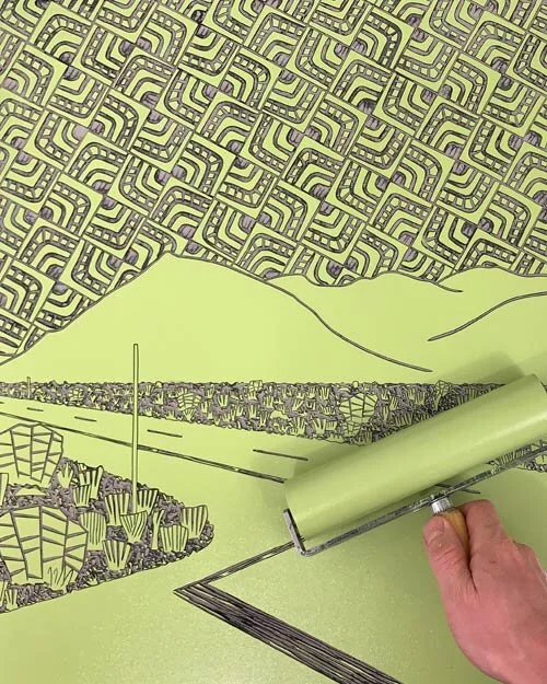
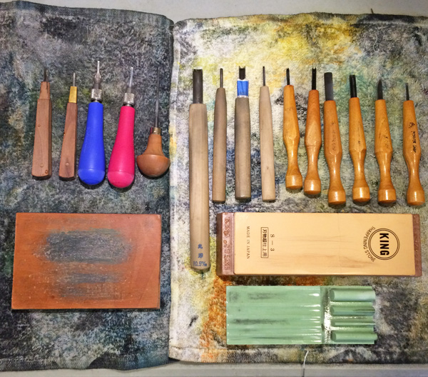

After a nice holiday break, which included a short rejuvenating trip up into the snowy mountains of Northern California, I'm getting back into the swing of things. This morning, I finished a world airport map linocut. This is the most recent addition to my series of airport prints. This two-layer, 8"x16" block print was done in two different color versions - the orange seen in the photo below and a blue-green color.

World Airport Map - Linocut Print
